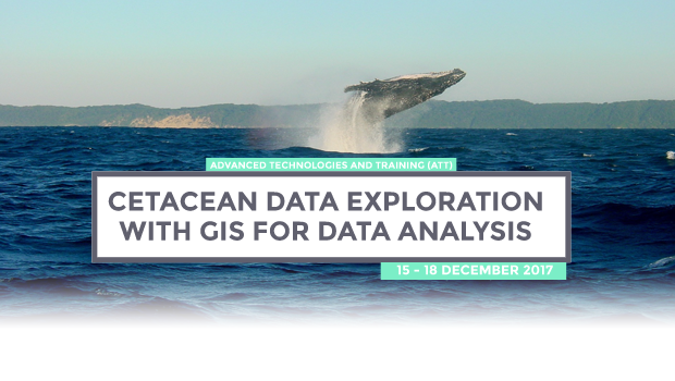
Cetacean data exploration with GIS data analysis
The programme will be in a classroom. Each day will have a theoretical component followed by a related practical component. The students will learn and deal with different types of raw data related with cetacean research. The environmental data will be transformed into workable variables and cetacean raw data into occurrences and survey effort. Cetacean data will be related with variables, and possible data exploration output maps will be created.
For the course is necessary student´s own personal computer, preferably with a minimum of 4Gb RAM. The software used in the course is free and open-source, and will be installed in the beginning of the first class.
A certificate will be presented in the end of the course.
In this course, students will learn fundamental concepts of Geographic Information Systems (GIS) and Spatial Analysis applied to cetacean ecology analysis.
Upon the end of the course, students should be able to:
- Understand fundamental concepts of GIS;
- Deal with raw cetacean data and possible technical issues;
- Transform data into data visualization maps;
- Prepare data for spatial statistical analysis.


